

When Miss Zsa Zsa (my ever-so-bossy Editor-in-Chief at The Barking Bugle) asked me to sniff out a story about the Norfolk Trails, I wagged my tail like mad! Norfolk is one of my favourite places for walkies — with over 1,400 miles of dog-friendly trails, it’s a dream come true for adventurous pups and their humans.
From sandy beaches and peaceful countryside to historic ruins and bustling market towns, there’s a trail for every tail. Before setting off, remember to check the Norfolk County Council website for the latest updates on closures or diversions.
So, grab your lead and let’s explore some of Norfolk’s best trails! 🦮
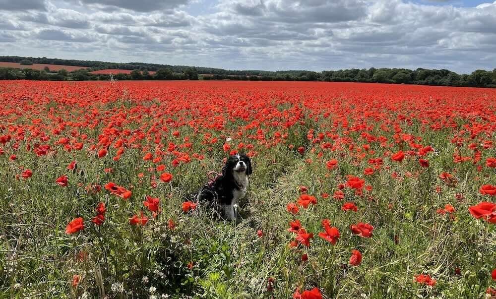
Exploring the Best Norfolk Trails for Dogs
🦴 Angles Way – 93 Miles of Wag-tastic Variety
This long trail begins in the seaside town of Great Yarmouth and winds all the way to Thetford. Ninety-three miles – luckily, you can break it into smaller, sniffable sections so it suits every paw.
The path is mostly flat and well-kept — although after a bit of rain, expect those paws to get delightfully sticky! My favourite section is the Great Yarmouth to Burgh Castle stretch (around 4 miles). It follows the glistening edge of Breydon Water and ends at Burgh Castle, where us dogs (on leads, please!) can explore the ancient Roman fort ruins.
From there, the trail follows the Waveney Valley, passing through the beautiful Broads, pretty market towns like Beccles and Bungay, and tranquil heathland before reaching Thetford. A proper Norfolk adventure — rich in history and full of smells to investigate!
🦴 Boudicca Way – 36 Miles of History and Sniffs
Calling all history-loving hounds! 🏺
The Boudicca Way runs between Norwich and Diss, following close to an old Roman road. The trail passes through Caistor St Edmund, Shotesham and Pulham Market — all full of lush fields, hidden woods and whispering hedgerows.
It’s named after Queen Boudicca, the fierce warrior of the Iceni tribe who once called this part of Norfolk home. As I trotted along, I imagined her charging past on her chariot!
The landscapes here are quiet, rural and peaceful — perfect for long thoughtful sniffs and tail-wagging strolls.
🦴 Bure Valley Path – 9 Miles of Steam and Scenery
All aboard! 🚂
The Bure Valley Path runs alongside the Bure Valley Railway from Aylsham to Wroxham, following the gentle course of the River Bure. Along the way, you’ll pass through the picturesque villages of Brampton, Buxton and Coltishall — each one perfect for a quick water bowl stop.
Best of all? If your paws get tired, you can hop aboard one of the dog-friendly steam or diesel trains.
🦴 The Fen Rivers Way – 50 Miles of Riverside Rambling
Stretching from King’s Lynn to Cambridge, the Fen Rivers Way meanders alongside the River Great Ouse and River Cam. The trail is flat, easy-going and perfect for a good long trot.
Keep your nose alert though — there are often sheep and cows grazing nearby. I find them quite interesting (Mum says too interesting). The scenery is vast and open, perfect for watching the clouds drift lazily overhead.
🦴 Kett’s Country Trail – 18 Miles of Rebellion and Rural Charm
This trail starts in Wymondham, where Kett’s Rebellion began back in 1549, and finishes in Eaton near Norwich. It’s the newest addition to the Norfolk Trails network — and one we can’t wait to fully explore!
If 18 miles sounds like too much for your paws, there are five shorter circular walks that still let you enjoy the same rolling farmland and pretty villages. Every corner feels like stepping into a page of history — with plenty of grass to roll in along the way.
Kett’s Country Long Distance Trail Map

🦴 Little Ouse Path – 10 Miles of delight along a Riverbank
This charming trail follows the Little Ouse River between Thetford and Brandon. It’s gentle, peaceful and full of interesting smells. With trains and buses connecting both towns, it’s an easy trip for a relaxed day out.
🦴 Marriott’s Way – 26 Miles of Pawfect Railway Rambles
Following an old railway line, Marriott’s Way takes you from Aylsham to the outskirts of Norwich, through Reepham, Whitwell and Lenwade.
The flat path is great for everypawdy — even those in strollers! Along the way you’ll find a few dog-friendly refreshment stops. My top tip? Don’t miss the Reepham & Whitwell Railway Station Café — it’s dog friendly, cosy and smells of food. Yum!
🦴 Nar Valley Way – 33 Miles of Castles, Priories & Pawprints
Running from Gressenhall to King’s Lynn, this 33-mile trail is full of surprises. On one walk, we explored Castle Acre, where the castle and priory ruins are pawsitively fascinating.
It’s a great spot for shorter walks — we did a 1.5-mile circular route that still packed in history, countryside views and even a few rabbits darting through the grass.
🦴 Norfolk Coast Path – 84 Miles of Seaside Sniffs
Now this, my furry friends, is one of my absolute favourites! 🐶
The Norfolk Coast Path runs for 84 glorious miles from Hopton-on-Sea to Hunstanton, taking in seaside gems like Cromer, Wells-next-the-Sea and Happisburgh.
The sea is never far away — sometimes roaring beside you, sometimes glimmering in the distance. Near Weybourne, you might spot the steam train puffing along the line to Holt. Some sections even touch the Sheringham Park estate, bursting with natural beauty.
And yes, there are plenty of spots to paddle your paws. Salty sniffs and happy splashes guaranteed!
🦴 Paston Way – 22 Miles of Woods, Wildlife & Wagging Tails
From North Walsham to Cromer, this trail is full of character. It passes through Paston, Mundesley and Northrepps, weaving through countryside, old railway lines and Pigney’s Wood, home to 40 species of trees and countless butterflies.
There are a few steep steps, but the views (and smells) are worth it. Perfect for dogs who like variety — and humans who like peace and quiet.

🦴 Peddars Way – 46 Miles of Ancient Mystery
Starting in Knettishall Heath and finishing at Holme-next-the-Sea, the Peddars Way follows an ancient Roman road (even older than the bones I bury!).
The trail passes through pretty villages and rolling countryside, but keep your ears pricked — legend says it’s haunted by the Black Shuck, a ghostly hound with glowing red eyes. Eeek! I prefer to stick to daytime walkies on this one.
🦴 Three Rivers Way – 2.5 Miles of Broads Beauty
A short but scenic stretch between Hoveton and Horning, right in the heart of the Norfolk Broads National Park. Perfect for a gentle stroll with riverside views, boats gliding past and plenty of friendly humans to admire your good looks.
🦴 Weavers’ Way – 61 Miles of Country Estates & Ghostly Tales
Stretching from Cromer to Great Yarmouth, the Weavers’ Way takes in historic country estates like Felbrigg and Blickling.
Blickling Hall is said to be haunted by Anne Boleyn and her father, which adds an extra shiver to your tail! But mostly, it’s a peaceful walk full of wide-open views, gentle rivers and (occasionally) some overly curious cows.
🦴 Wensum Way – 12 Miles of Winding Wonder
This delightful trail links Gressenhall with Lenwade, following the winding River Wensum. The countryside here is pretty – the pawfect spot for a picnic, a paddle and a post-walk nap in the sun.
🦴 Wherryman’s Way – 37.5 Miles of Broads Bliss
Running between Norwich and Great Yarmouth, this trail follows the River Yare through the heart of the Broads. Expect marshes, riverside pubs and plenty of boats to bark at! 🚤
There are endless short walks, circular routes and pit stops — a tail-waggingly good day out for every kind of dog, from big bounding labs to tiny terriers.
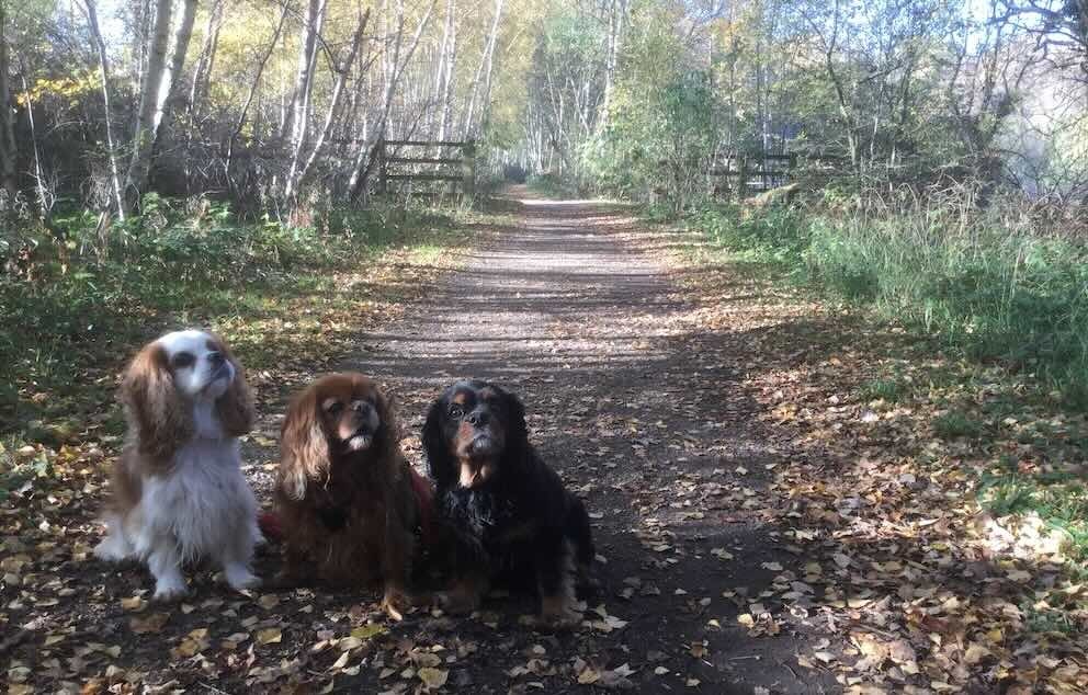
🦴 Cross-Norfolk Trail – 96 Miles of the Ultimate Adventure
This grand journey runs from King’s Lynn to Great Yarmouth, linking several other trails including the Nar Valley Way, Wensum Way, Marriott’s Way and Wherryman’s Way.
If you’ve got energy, curiosity and a sturdy pair of paws (plus a human with snacks), this is the big one. The ultimate Norfolk challenge!
So there you have it, my furry friends — The Norfolk Trails: full of history, countryside and endless sniffs. Whether you’re exploring the Norfolk Coast Path, wandering the Broads or discovering hidden gems every pawstep is a new adventure.
Woofs Cocoa
For a truly pawsome holiday, check out The Barking Bugle’s Doggy Tourist Guide to Norfolk — packed with dog-friendly beaches, attractions and places to stay. And don’t forget to visit our homepage for the latest tips, adventures and dog-friendly Norfolk spots!
Join the Pack
Follow our daily adventures on social media, and don’t forget to woof about us to your friends!